Oughtibridge Brass Band Hut, Station Lane, Oughtibridge - 2
Introduction
The photograph on this page of Oughtibridge Brass Band Hut, Station Lane, Oughtibridge - 2 by Terry Robinson as part of the Geograph project.
The Geograph project started in 2005 with the aim of publishing, organising and preserving representative images for every square kilometre of Great Britain, Ireland and the Isle of Man.

There are currently over 7.5m images from over 14,400 individuals and you can help contribute to the project by visiting https://www.geograph.org.uk
Oughtibridge Brass Band Hut, Station Lane, Oughtibridge - 2
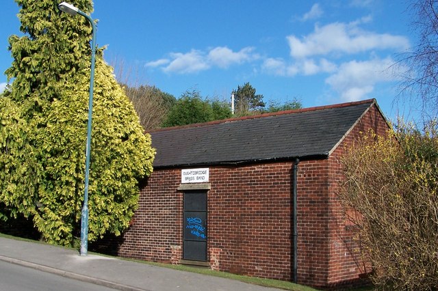
Image: © Terry Robinson Taken: 7 Mar 2008
Taken from the river bank. This building was formerly the village Telephone Exchange, replacing the original which was in Orchard Street. See also ... Image Update in 2013 ... The Hut is finally being extended and modernised ... see ... Image Image Image
Images are licensed for reuse under creativecommons.org/licenses/by-sa/2.0
Image Location
Latitude
53.43558
Longitude
-1.536198