The miners' welfare recreation ground
Introduction
The photograph on this page of The miners' welfare recreation ground by Neil Owen as part of the Geograph project.
The Geograph project started in 2005 with the aim of publishing, organising and preserving representative images for every square kilometre of Great Britain, Ireland and the Isle of Man.

There are currently over 7.5m images from over 14,400 individuals and you can help contribute to the project by visiting https://www.geograph.org.uk
The miners' welfare recreation ground
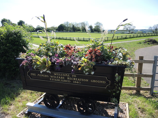
Image: © Neil Owen Taken: 24 May 2022
Decorated with an appropriate relic. The ground used to have the Miners' Institute Hall just up the road but that has now gone, as has the old band-stand.
Images are licensed for reuse under creativecommons.org/licenses/by-sa/2.0
Image Location
Latitude
51.314195
Longitude
-2.431392