The Green, Shamley Green
Introduction
The photograph on this page of The Green, Shamley Green by Malc McDonald as part of the Geograph project.
The Geograph project started in 2005 with the aim of publishing, organising and preserving representative images for every square kilometre of Great Britain, Ireland and the Isle of Man.

There are currently over 7.5m images from over 14,400 individuals and you can help contribute to the project by visiting https://www.geograph.org.uk
The Green, Shamley Green
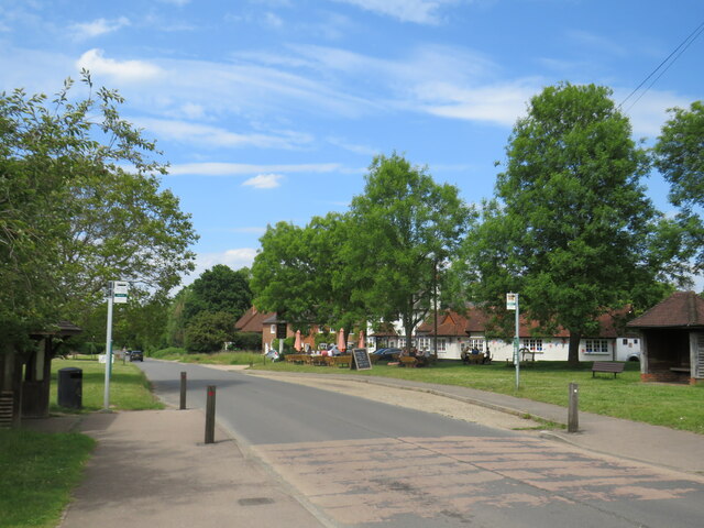
Image: © Malc McDonald Taken: 3 Jun 2022
The Green forms part of the route of the B2128 road as it passes through the village of Shamley Green.
Images are licensed for reuse under creativecommons.org/licenses/by-sa/2.0
Image Location
Latitude
51.184306
Longitude
-0.524952