Downs Link near Cranleigh
Introduction
The photograph on this page of Downs Link near Cranleigh by Malc McDonald as part of the Geograph project.
The Geograph project started in 2005 with the aim of publishing, organising and preserving representative images for every square kilometre of Great Britain, Ireland and the Isle of Man.

There are currently over 7.5m images from over 14,400 individuals and you can help contribute to the project by visiting https://www.geograph.org.uk
Downs Link near Cranleigh
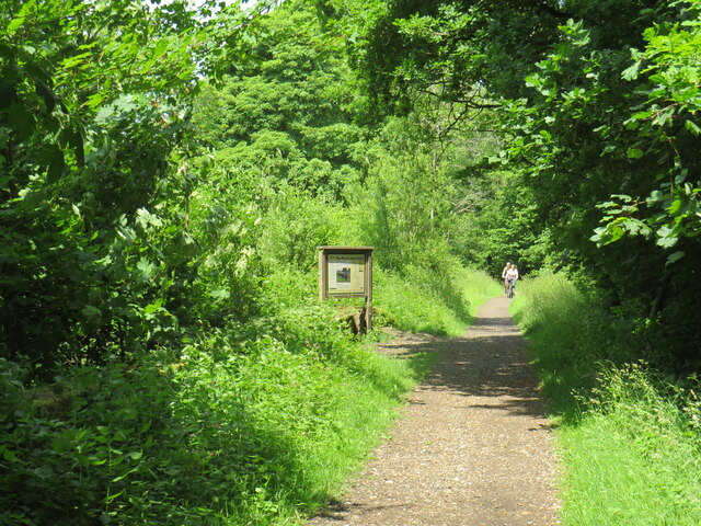
Image: © Malc McDonald Taken: 3 Jun 2022
The Downs Link path follows a dismantled railway line for most of its length. It also forms part of route 223 of the National Cycle Network. An information board alongside the path gives information about the Wey & Arun Canal, which passes beneath the path here. The canal, opened in 1816, linked the Wey and Arun Navigations to provided a navigable route for barges between London and Portsmouth.
Images are licensed for reuse under creativecommons.org/licenses/by-sa/2.0
Image Location
Latitude
51.160717
Longitude
-0.522702