Westerton Arms
Introduction
The photograph on this page of Westerton Arms by Richard Sutcliffe as part of the Geograph project.
The Geograph project started in 2005 with the aim of publishing, organising and preserving representative images for every square kilometre of Great Britain, Ireland and the Isle of Man.

There are currently over 7.5m images from over 14,400 individuals and you can help contribute to the project by visiting https://www.geograph.org.uk
Westerton Arms
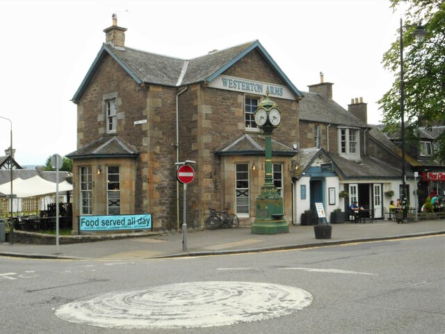
Image: © Richard Sutcliffe Taken: 2 Jun 2022
Public house on Henderson Street. Possibly from 1831, much altered since then. It is Category B listed http://portal.historicenvironment.scot/designation/LB22641. In front of the building is the Henderson Street Clock (the Paterson Memorial) dating from 1898 which is Categeory C listed http://portal.historicenvironment.scot/designation/LB22640.
Images are licensed for reuse under creativecommons.org/licenses/by-sa/2.0
Image Location


Leaflet Map data © OpenStreetMap
Latitude
56.154885
Longitude
-3.948445