Downs Link, near Rudgwick
Introduction
The photograph on this page of Downs Link, near Rudgwick by Malc McDonald as part of the Geograph project.
The Geograph project started in 2005 with the aim of publishing, organising and preserving representative images for every square kilometre of Great Britain, Ireland and the Isle of Man.

There are currently over 7.5m images from over 14,400 individuals and you can help contribute to the project by visiting https://www.geograph.org.uk
Downs Link, near Rudgwick
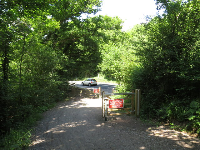
Image: © Malc McDonald Taken: 3 Jun 2022
The Downs Link path follows a dismantled railway line for almost all of its length. It also forms part of route 223 of the National Cycle Network. Here, there used to be a bridge carrying the railway across the A281 road. The bridge was demolished after the railway closed, and the Downs Link path therefore descends to road level to cross the road. There has been a long-running campaign to reinstate a bridge here. Sadly, a 20-year-old cyclist was killed in 2020 whilst crossing the road at this point.
Images are licensed for reuse under creativecommons.org/licenses/by-sa/2.0
Image Location
Latitude
51.085607
Longitude
-0.444852