Downs Link at Slinfold, near Horsham
Introduction
The photograph on this page of Downs Link at Slinfold, near Horsham by Malc McDonald as part of the Geograph project.
The Geograph project started in 2005 with the aim of publishing, organising and preserving representative images for every square kilometre of Great Britain, Ireland and the Isle of Man.

There are currently over 7.5m images from over 14,400 individuals and you can help contribute to the project by visiting https://www.geograph.org.uk
Downs Link at Slinfold, near Horsham
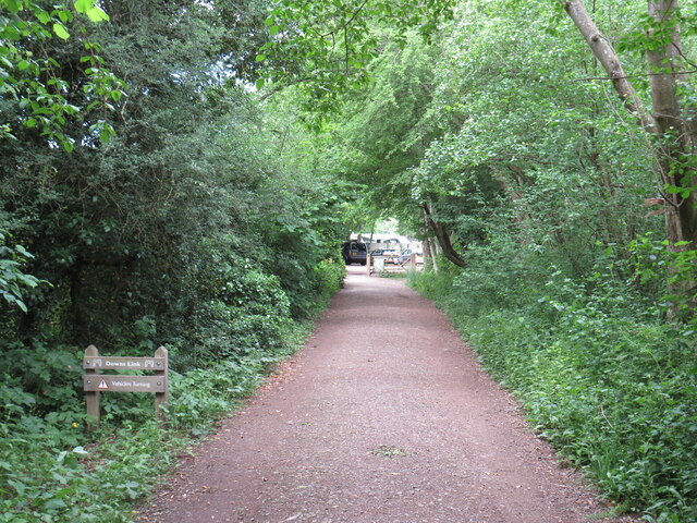
Image: © Malc McDonald Taken: 3 Jun 2022
A view of the Downs Link path passing through Slinfold in West Sussex. The path follows a dismantled railway line. It also forms part of route 223 of the National Cycle Network. In this view, the path is approaching the site of Slinfold railway station.
Images are licensed for reuse under creativecommons.org/licenses/by-sa/2.0
Image Location
Latitude
51.067359
Longitude
-0.411923