Barn on west side of A685 south of Brough Sowerby
Introduction
The photograph on this page of Barn on west side of A685 south of Brough Sowerby by Roger Templeman as part of the Geograph project.
The Geograph project started in 2005 with the aim of publishing, organising and preserving representative images for every square kilometre of Great Britain, Ireland and the Isle of Man.

There are currently over 7.5m images from over 14,400 individuals and you can help contribute to the project by visiting https://www.geograph.org.uk
Barn on west side of A685 south of Brough Sowerby
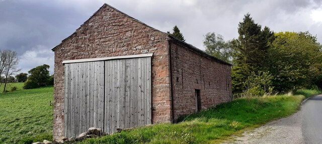
Image: © Roger Templeman Taken: 20 May 2022
There is an Ordnance Survey benchmark Image on the near right hand corner, road face, of the barn
Images are licensed for reuse under creativecommons.org/licenses/by-sa/2.0
Image Location
Latitude
54.507025
Longitude
-2.321346