Marston Road, Nunney
Introduction
The photograph on this page of Marston Road, Nunney by Derek Harper as part of the Geograph project.
The Geograph project started in 2005 with the aim of publishing, organising and preserving representative images for every square kilometre of Great Britain, Ireland and the Isle of Man.

There are currently over 7.5m images from over 14,400 individuals and you can help contribute to the project by visiting https://www.geograph.org.uk
Marston Road, Nunney
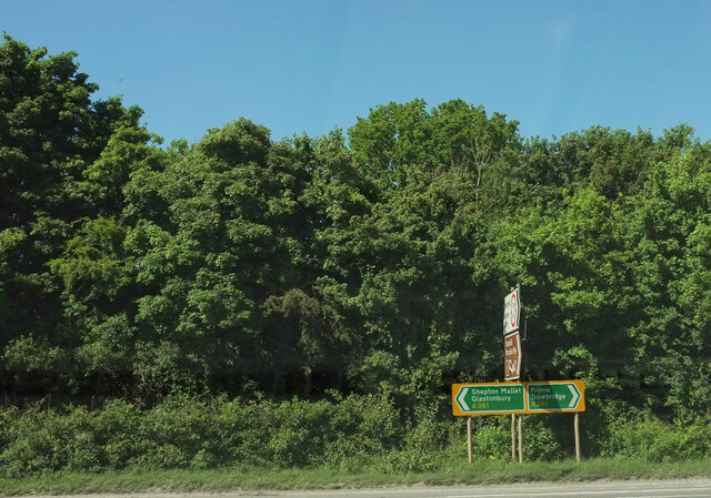
Image: © Derek Harper Taken: 27 May 2022
At the junction of the road from Trudoxhill with the A361 Marston Road. The brown sign pointing towards the camera advertises "Trudoxhill Macmillan Way" and both OS maps and the LWDA map show the Way crossing the main road at this junction. But I can't see any route for it on the other side of this junction, nor any waymark. Surely it should follow the lane shown in Image which passes safely beneath the main road? However, no waymarking is visible on Streetview where this lane leaves the road from Trudoxhill.
Images are licensed for reuse under creativecommons.org/licenses/by-sa/2.0
Image Location
Latitude
51.200468
Longitude
-2.373221