Towdy Potts
Introduction
The photograph on this page of Towdy Potts by Chris Heaton as part of the Geograph project.
The Geograph project started in 2005 with the aim of publishing, organising and preserving representative images for every square kilometre of Great Britain, Ireland and the Isle of Man.

There are currently over 7.5m images from over 14,400 individuals and you can help contribute to the project by visiting https://www.geograph.org.uk
Towdy Potts
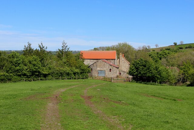
Image: © Chris Heaton Taken: 19 May 2022
The Weardale Way long distance footpath approaching Towdy Potts Farm with its distinctive red roof
Images are licensed for reuse under creativecommons.org/licenses/by-sa/2.0
Image Location
Latitude
54.720036
Longitude
-1.898129