Bewerley, Peat Lane
Introduction
The photograph on this page of Bewerley, Peat Lane by Mel Towler as part of the Geograph project.
The Geograph project started in 2005 with the aim of publishing, organising and preserving representative images for every square kilometre of Great Britain, Ireland and the Isle of Man.

There are currently over 7.5m images from over 14,400 individuals and you can help contribute to the project by visiting https://www.geograph.org.uk
Bewerley, Peat Lane
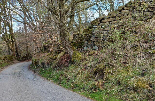
Image: © Mel Towler Taken: 23 Apr 2022
According to the OS benchmark database there is a boulder with a benchmark on the south side of the lane. Many of the boulders are coated in moss which makes searching difficult. Nothing was found on the largest boulders.
Images are licensed for reuse under creativecommons.org/licenses/by-sa/2.0
Image Location
Latitude
54.074138
Longitude
-1.769354