Redeveloping the squash club
Introduction
The photograph on this page of Redeveloping the squash club by Hugh Venables as part of the Geograph project.
The Geograph project started in 2005 with the aim of publishing, organising and preserving representative images for every square kilometre of Great Britain, Ireland and the Isle of Man.

There are currently over 7.5m images from over 14,400 individuals and you can help contribute to the project by visiting https://www.geograph.org.uk
Redeveloping the squash club
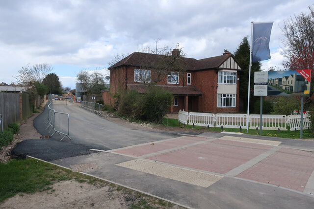
Image: © Hugh Venables Taken: 9 Apr 2022
New housing coming off Histon Road, see Image for a photo when the squash club closed seven years ago.
Images are licensed for reuse under creativecommons.org/licenses/by-sa/2.0
Image Location
Latitude
52.225333
Longitude
0.111357