Path through Dykehead Wood
Introduction
The photograph on this page of Path through Dykehead Wood by wrobison as part of the Geograph project.
The Geograph project started in 2005 with the aim of publishing, organising and preserving representative images for every square kilometre of Great Britain, Ireland and the Isle of Man.

There are currently over 7.5m images from over 14,400 individuals and you can help contribute to the project by visiting https://www.geograph.org.uk
Path through Dykehead Wood
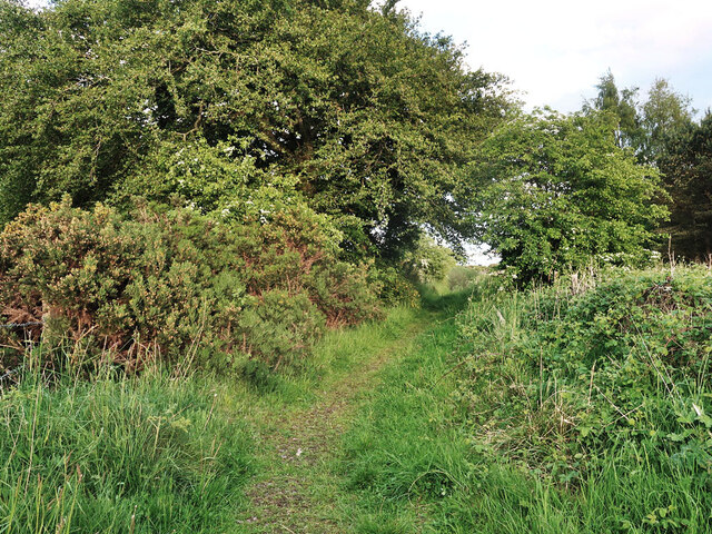
Image: © wrobison Taken: 28 May 2022
A woodland on an area with old quarry workings and an old lime kiln. The path is a Right of Way.
Images are licensed for reuse under creativecommons.org/licenses/by-sa/2.0
Image Location
Latitude
55.765797
Longitude
-4.104335