Peedie Lass
Introduction
The photograph on this page of Peedie Lass by Alan Murray-Rust as part of the Geograph project.
The Geograph project started in 2005 with the aim of publishing, organising and preserving representative images for every square kilometre of Great Britain, Ireland and the Isle of Man.

There are currently over 7.5m images from over 14,400 individuals and you can help contribute to the project by visiting https://www.geograph.org.uk
Peedie Lass
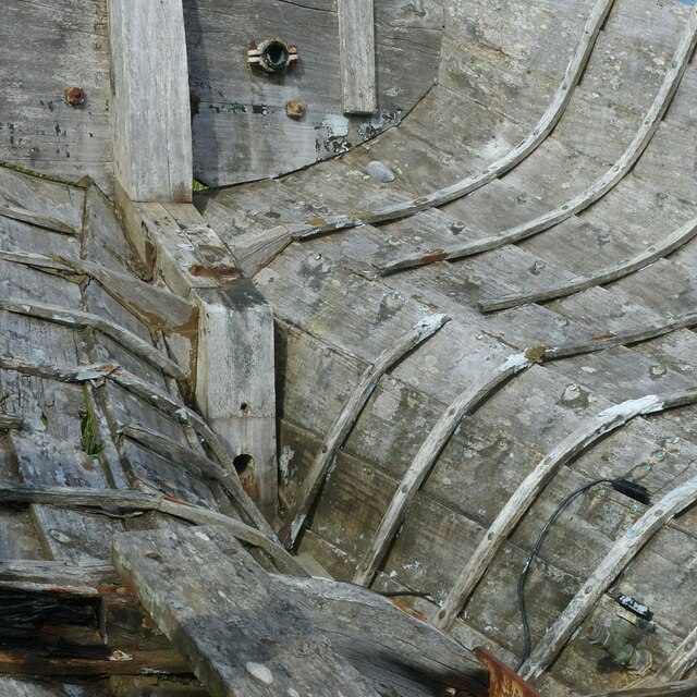
Image: © Alan Murray-Rust Taken: 19 May 2022
Interior of a decaying fishing boat adjacent to the Nigg ferry landing. See https://www.geograph.org.uk/photo/7181030
Images are licensed for reuse under creativecommons.org/licenses/by-sa/2.0
Image Location
Latitude
57.683716
Longitude
-4.036686