Ruined brick building beneath Swinsy Hill
Introduction
The photograph on this page of Ruined brick building beneath Swinsy Hill by Alan O'Dowd as part of the Geograph project.
The Geograph project started in 2005 with the aim of publishing, organising and preserving representative images for every square kilometre of Great Britain, Ireland and the Isle of Man.

There are currently over 7.5m images from over 14,400 individuals and you can help contribute to the project by visiting https://www.geograph.org.uk
Ruined brick building beneath Swinsy Hill
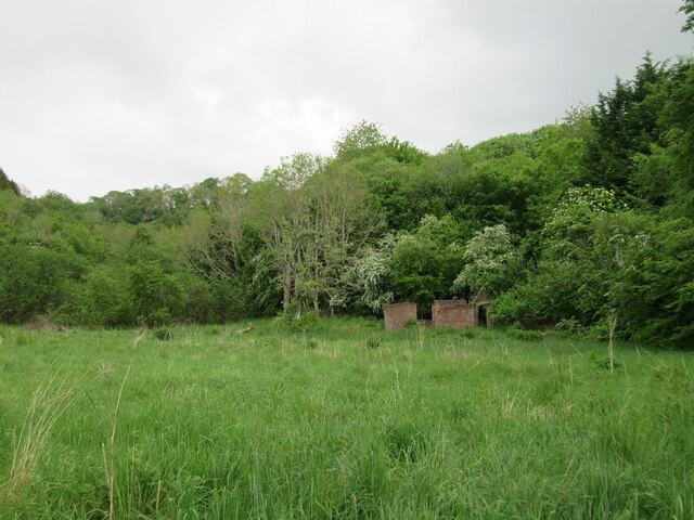
Image: © Alan O'Dowd Taken: 24 May 2022
In the old orchard country of the Clyde Valley – possibly the building was once associated with fruit growing.
Images are licensed for reuse under creativecommons.org/licenses/by-sa/2.0
Image Location
Latitude
55.702404
Longitude
-3.861566