Stanfield Rock
Introduction
The photograph on this page of Stanfield Rock by Simon Carey as part of the Geograph project.
The Geograph project started in 2005 with the aim of publishing, organising and preserving representative images for every square kilometre of Great Britain, Ireland and the Isle of Man.

There are currently over 7.5m images from over 14,400 individuals and you can help contribute to the project by visiting https://www.geograph.org.uk
Stanfield Rock
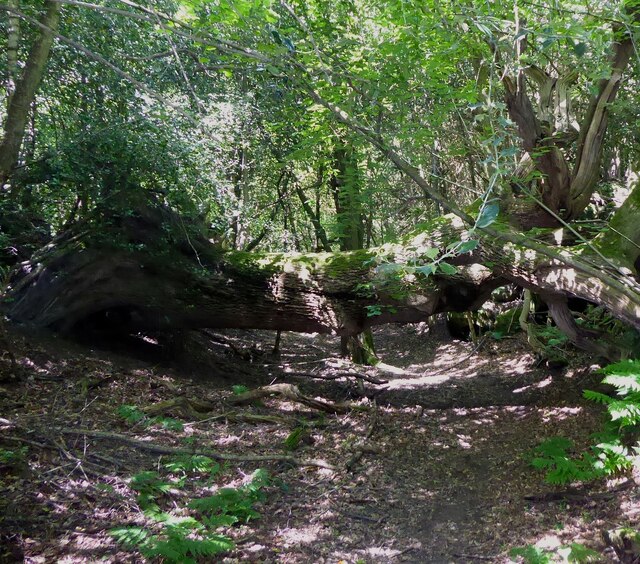
Image: © Simon Carey Taken: 22 May 2022
The name of the former field according to Maresfield's 1840 tithe map that is now a small wood. This is the view of Maresfield 74a public footpath heading east to Old Forge Lane
Images are licensed for reuse under creativecommons.org/licenses/by-sa/2.0
Image Location


Leaflet Map data © OpenStreetMap
Latitude
51.012195
Longitude
0.082729