End of Dingle Close, West Green, Crawley
Introduction
The photograph on this page of End of Dingle Close, West Green, Crawley by Robin Webster as part of the Geograph project.
The Geograph project started in 2005 with the aim of publishing, organising and preserving representative images for every square kilometre of Great Britain, Ireland and the Isle of Man.

There are currently over 7.5m images from over 14,400 individuals and you can help contribute to the project by visiting https://www.geograph.org.uk
End of Dingle Close, West Green, Crawley
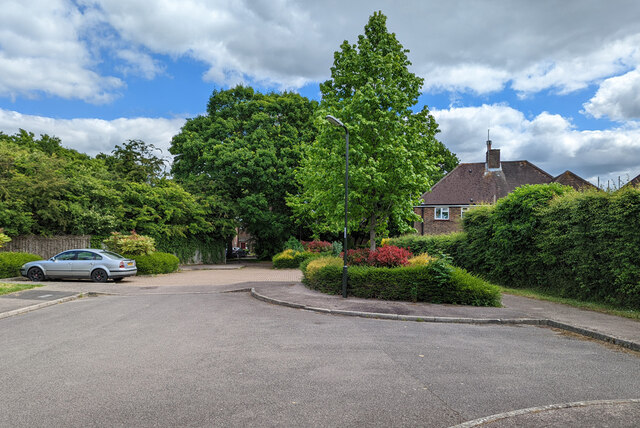
Image: © Robin Webster Taken: 28 May 2022
There is a path through to the end of Ifield Road and a pedestrian subway under the A23.
Images are licensed for reuse under creativecommons.org/licenses/by-sa/2.0
Image Location
Latitude
51.119756
Longitude
-0.204653