Ripon Park
Introduction
The photograph on this page of Ripon Park by Marathon as part of the Geograph project.
The Geograph project started in 2005 with the aim of publishing, organising and preserving representative images for every square kilometre of Great Britain, Ireland and the Isle of Man.

There are currently over 7.5m images from over 14,400 individuals and you can help contribute to the project by visiting https://www.geograph.org.uk
Ripon Park
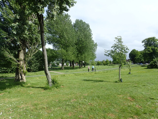
Image: © Marathon Taken: 25 May 2022
Ripon Park has been a public park since 1955. It is seen here from Manor Way. See https://www.parksherts.co.uk/parks/view/ripon-park for more information.
Images are licensed for reuse under creativecommons.org/licenses/by-sa/2.0
Image Location
Latitude
51.650345
Longitude
-0.260092