Footpath by Combs Reservoir
Introduction
The photograph on this page of Footpath by Combs Reservoir by Bill Boaden as part of the Geograph project.
The Geograph project started in 2005 with the aim of publishing, organising and preserving representative images for every square kilometre of Great Britain, Ireland and the Isle of Man.

There are currently over 7.5m images from over 14,400 individuals and you can help contribute to the project by visiting https://www.geograph.org.uk
Footpath by Combs Reservoir
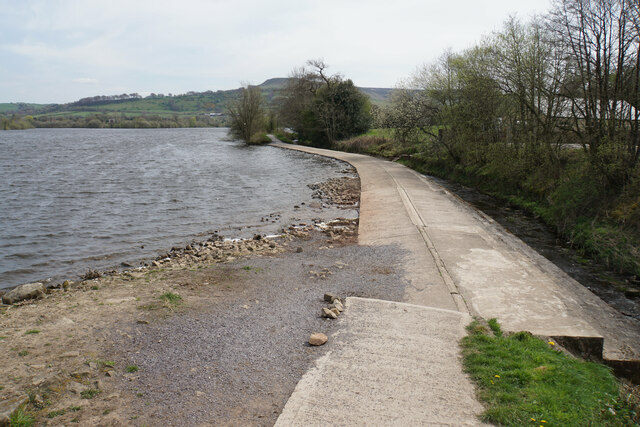
Image: © Bill Boaden Taken: 20 Apr 2022
The path crosses a potential outflow into Meveril Brook, so I imagine you cannot use the path when the reservoir is full.
Images are licensed for reuse under creativecommons.org/licenses/by-sa/2.0
Image Location
Latitude
53.314314
Longitude
-1.950579