Rocky Valley - Trevillett Mill grounds
Introduction
The photograph on this page of Rocky Valley - Trevillett Mill grounds by Rob Farrow as part of the Geograph project.
The Geograph project started in 2005 with the aim of publishing, organising and preserving representative images for every square kilometre of Great Britain, Ireland and the Isle of Man.

There are currently over 7.5m images from over 14,400 individuals and you can help contribute to the project by visiting https://www.geograph.org.uk
Rocky Valley - Trevillett Mill grounds
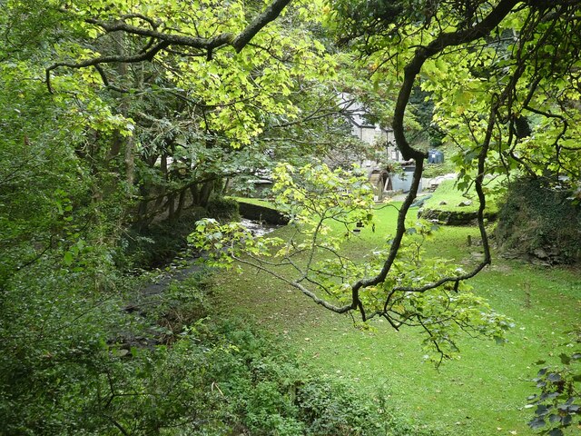
Image: © Rob Farrow Taken: 29 Sep 2021
Trevillett Mill is towards the southern end of Rocky Valley as it approaches the B3266. The mill itself can only just be glimpsed among the branches and leaves of the trees in its grounds - if you look closely you should be able to see its waterwheel however.
Images are licensed for reuse under creativecommons.org/licenses/by-sa/2.0
Image Location
Latitude
50.670572
Longitude
-4.728849