Gairloch
Introduction
The photograph on this page of Gairloch by Anne Burgess as part of the Geograph project.
The Geograph project started in 2005 with the aim of publishing, organising and preserving representative images for every square kilometre of Great Britain, Ireland and the Isle of Man.

There are currently over 7.5m images from over 14,400 individuals and you can help contribute to the project by visiting https://www.geograph.org.uk
Gairloch
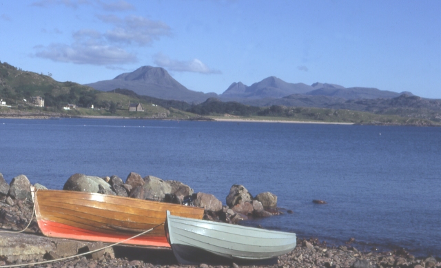
Image: © Anne Burgess Taken: Unknown
Looking across from the shore at Strath to Baosbheinn (pronounce it 'BUSH-ven') and Beinn Alligin
Images are licensed for reuse under creativecommons.org/licenses/by-sa/2.0
Image Location
Latitude
57.732928
Longitude
-5.705521