Eastern parapet of Church Brough Bridge
Introduction
The photograph on this page of Eastern parapet of Church Brough Bridge by Roger Templeman as part of the Geograph project.
The Geograph project started in 2005 with the aim of publishing, organising and preserving representative images for every square kilometre of Great Britain, Ireland and the Isle of Man.

There are currently over 7.5m images from over 14,400 individuals and you can help contribute to the project by visiting https://www.geograph.org.uk
Eastern parapet of Church Brough Bridge
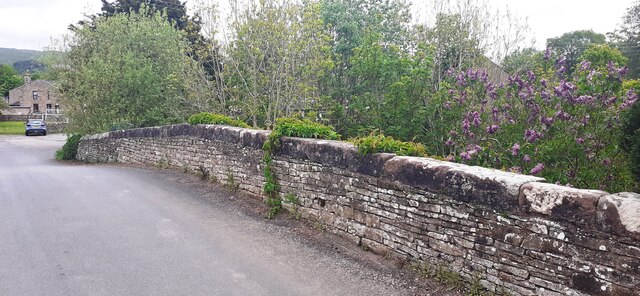
Image: © Roger Templeman Taken: 20 May 2022
There is an Ordnance Survey benchmark Image on the bridge coping stone where vegetation overhangs
Images are licensed for reuse under creativecommons.org/licenses/by-sa/2.0
Image Location
Latitude
54.522577
Longitude
-2.31946