Canal north-west of Springfield in Wolverhampton
Introduction
The photograph on this page of Canal north-west of Springfield in Wolverhampton by Roger Kidd as part of the Geograph project.
The Geograph project started in 2005 with the aim of publishing, organising and preserving representative images for every square kilometre of Great Britain, Ireland and the Isle of Man.

There are currently over 7.5m images from over 14,400 individuals and you can help contribute to the project by visiting https://www.geograph.org.uk
Canal north-west of Springfield in Wolverhampton
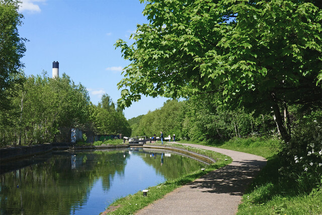
Image: © Roger Kidd Taken: 14 May 2022
Looking north from near Cannock Road Bridge, towards Wolverhampton Locks No 6. Sustrans National Route 81 for cyclists passes along the towpath here. The chimney of the city incinerator a quarter of a mile away (just over 400 metres) tops the trees.
Images are licensed for reuse under creativecommons.org/licenses/by-sa/2.0
Image Location
Latitude
52.594582
Longitude
-2.122781