Abandoned Quarry in Findrassie Woods
Introduction
The photograph on this page of Abandoned Quarry in Findrassie Woods by Uamhair as part of the Geograph project.
The Geograph project started in 2005 with the aim of publishing, organising and preserving representative images for every square kilometre of Great Britain, Ireland and the Isle of Man.

There are currently over 7.5m images from over 14,400 individuals and you can help contribute to the project by visiting https://www.geograph.org.uk
Abandoned Quarry in Findrassie Woods
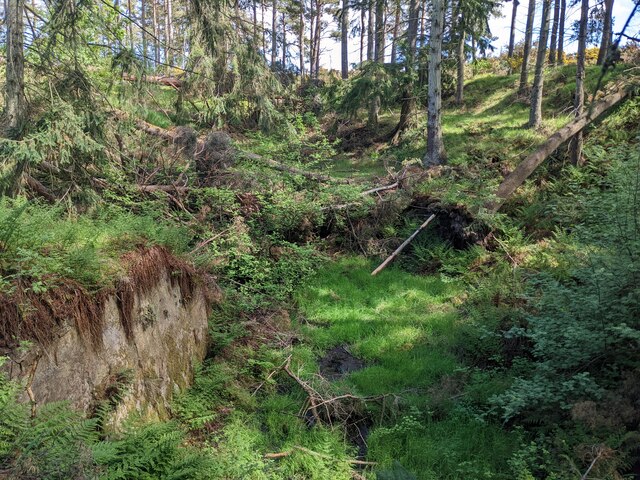
Image: © Uamhair Taken: 19 May 2022
Long abandoned quarry in Findrassie Woods, formerly used for the extraction of Old Red Sandstone for local buildings. The sandstone was initially thought to be Triassic in age, until the discovery of Devonian fish scales at this site.
Images are licensed for reuse under creativecommons.org/licenses/by-sa/2.0
Image Location


Leaflet Map data © OpenStreetMap
Latitude
57.669223
Longitude
-3.329045