Lutterworth-High Street
Introduction
The photograph on this page of Lutterworth-High Street by Ian Rob as part of the Geograph project.
The Geograph project started in 2005 with the aim of publishing, organising and preserving representative images for every square kilometre of Great Britain, Ireland and the Isle of Man.

There are currently over 7.5m images from over 14,400 individuals and you can help contribute to the project by visiting https://www.geograph.org.uk
Lutterworth-High Street
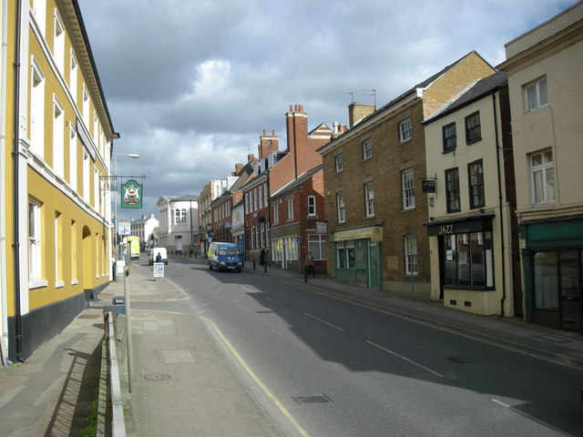
Image: © Ian Rob Taken: 4 Mar 2008
The Denbigh Arms Hotel is on the left and the Town Hall can be seen at the top of the hill.
Images are licensed for reuse under creativecommons.org/licenses/by-sa/2.0
Image Location
Latitude
52.454853
Longitude
-1.200886