Food from The Feeder
Introduction
The photograph on this page of Food from The Feeder by Neil Owen as part of the Geograph project.
The Geograph project started in 2005 with the aim of publishing, organising and preserving representative images for every square kilometre of Great Britain, Ireland and the Isle of Man.

There are currently over 7.5m images from over 14,400 individuals and you can help contribute to the project by visiting https://www.geograph.org.uk
Food from The Feeder
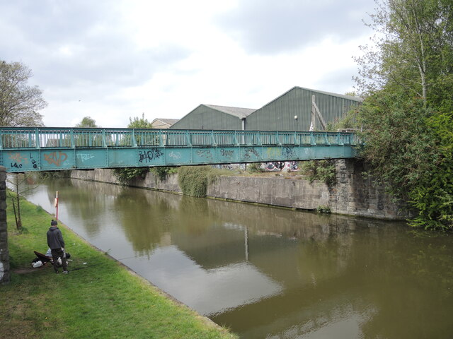
Image: © Neil Owen Taken: 29 Apr 2022
The canal is part of Bristol's harbour management system, providing a means to keep the main part at 'high water' as well as allowing the Avon to flow naturally. Once this footbridge, dated early 1900s, allowed passage to the old sawmills and timber yards; today the waters of the Feeder are much cleaner and attracts anglers.
Images are licensed for reuse under creativecommons.org/licenses/by-sa/2.0
Image Location


Leaflet Map data © OpenStreetMap
Latitude
51.450374
Longitude
-2.568523