Yew Lined Path
Introduction
The photograph on this page of Yew Lined Path by Lynn M Reid as part of the Geograph project.
The Geograph project started in 2005 with the aim of publishing, organising and preserving representative images for every square kilometre of Great Britain, Ireland and the Isle of Man.

There are currently over 7.5m images from over 14,400 individuals and you can help contribute to the project by visiting https://www.geograph.org.uk
Yew Lined Path
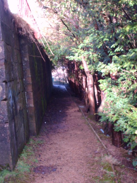
Image: © Lynn M Reid Taken: 7 Mar 2008
This Path leads to the ruins of Castlemilk House. Local folklore states that Mary Queen of Scots stayed there the night before the Battle of Langside-1568 and planted a Yew tree as a thank you to her hosts The Stuarts of Castlemilk.
Images are licensed for reuse under creativecommons.org/licenses/by-sa/2.0
Image Location
Latitude
55.808422
Longitude
-4.220421