Pollokshields Primary School
Introduction
The photograph on this page of Pollokshields Primary School by Richard Sutcliffe as part of the Geograph project.
The Geograph project started in 2005 with the aim of publishing, organising and preserving representative images for every square kilometre of Great Britain, Ireland and the Isle of Man.

There are currently over 7.5m images from over 14,400 individuals and you can help contribute to the project by visiting https://www.geograph.org.uk
Pollokshields Primary School
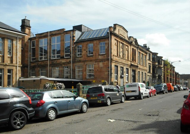
Image: © Richard Sutcliffe Taken: 14 May 2022
Seen from Herriet Street. The part of the school on the left dates from 1882. The part seen here is a later extension from 1901. The whole school is Category B listed http://portal.historicenvironment.scot/designation/LB33370.
Images are licensed for reuse under creativecommons.org/licenses/by-sa/2.0
Image Location
Latitude
55.842115
Longitude
-4.275053