Merrion Street junction with New Briggate
Introduction
The photograph on this page of Merrion Street junction with New Briggate by Stephen Craven as part of the Geograph project.
The Geograph project started in 2005 with the aim of publishing, organising and preserving representative images for every square kilometre of Great Britain, Ireland and the Isle of Man.

There are currently over 7.5m images from over 14,400 individuals and you can help contribute to the project by visiting https://www.geograph.org.uk
Merrion Street junction with New Briggate
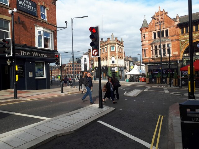
Image: © Stephen Craven Taken: 12 May 2022
As part of the City Connect scheme, the own way street forming part of the City Loop Road has been reduced from three traffic lanes to one, with a two-way cycle lane.
Images are licensed for reuse under creativecommons.org/licenses/by-sa/2.0
Image Location
Latitude
53.800434
Longitude
-1.54099