Roundabout near Manningtree Station
Introduction
The photograph on this page of Roundabout near Manningtree Station by Alan Murray-Rust as part of the Geograph project.
The Geograph project started in 2005 with the aim of publishing, organising and preserving representative images for every square kilometre of Great Britain, Ireland and the Isle of Man.

There are currently over 7.5m images from over 14,400 individuals and you can help contribute to the project by visiting https://www.geograph.org.uk
Roundabout near Manningtree Station
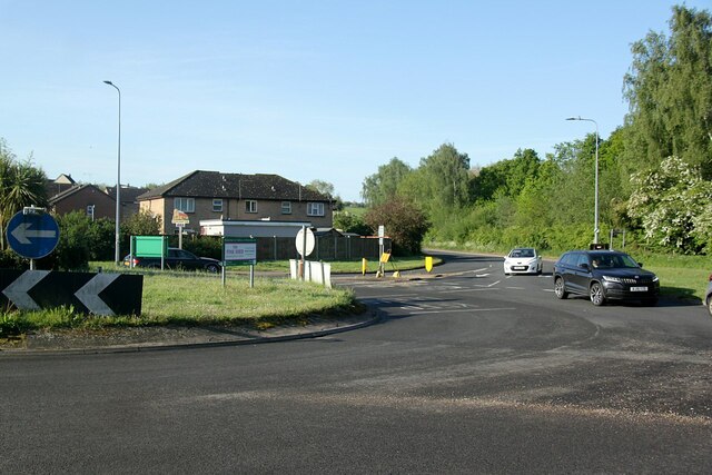
Image: © Alan Murray-Rust Taken: 12 May 2022
The village sign on the far side of the roundabout, in front of the left hand house, is in fact for Lawford rather than Manningtree.
Images are licensed for reuse under creativecommons.org/licenses/by-sa/2.0
Image Location
Latitude
51.94825
Longitude
1.048329