Llwybr ger Penwern Fach / A path near Penwern Fach
Introduction
The photograph on this page of Llwybr ger Penwern Fach / A path near Penwern Fach by Alan Richards as part of the Geograph project.
The Geograph project started in 2005 with the aim of publishing, organising and preserving representative images for every square kilometre of Great Britain, Ireland and the Isle of Man.

There are currently over 7.5m images from over 14,400 individuals and you can help contribute to the project by visiting https://www.geograph.org.uk
Llwybr ger Penwern Fach / A path near Penwern Fach
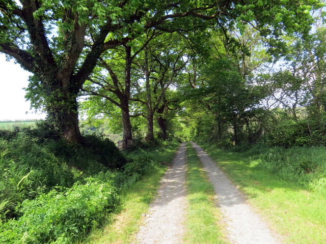
Image: © Alan Richards Taken: 15 May 2022
Llwybr yn mynd i lawr y waered tuag at Cwm Hirwaun. A public right of way descends towards Cwm Hirwaun (trans. long meadow / fen valley).
Images are licensed for reuse under creativecommons.org/licenses/by-sa/2.0
Image Location
Latitude
52.064506
Longitude
-4.533055