Hidden military ruin
Introduction
The photograph on this page of Hidden military ruin by Kathrin Passig as part of the Geograph project.
The Geograph project started in 2005 with the aim of publishing, organising and preserving representative images for every square kilometre of Great Britain, Ireland and the Isle of Man.

There are currently over 7.5m images from over 14,400 individuals and you can help contribute to the project by visiting https://www.geograph.org.uk
Hidden military ruin
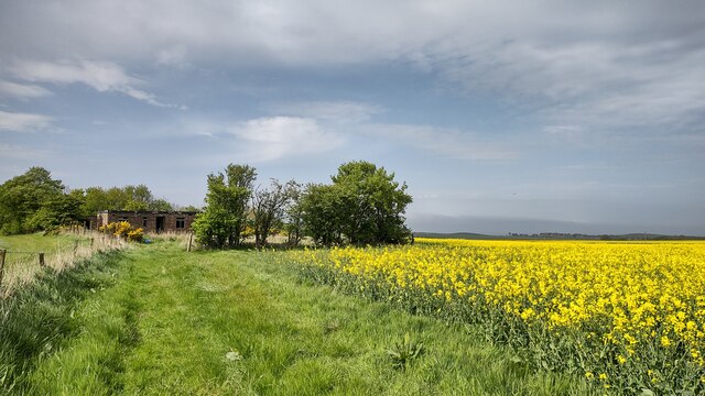
Image: © Kathrin Passig Taken: 15 May 2022
There are not many buildings in this square on the east side of the main road. The one that can be found is a derelict military building hidden between the fields. It seems likely it was associated with Dunino airfield not far behind.
Images are licensed for reuse under creativecommons.org/licenses/by-sa/2.0
Image Location
Latitude
56.279028
Longitude
-2.734002