Choice of paths, east of Miller's Pond
Introduction
The photograph on this page of Choice of paths, east of Miller's Pond by Christine Johnstone as part of the Geograph project.
The Geograph project started in 2005 with the aim of publishing, organising and preserving representative images for every square kilometre of Great Britain, Ireland and the Isle of Man.

There are currently over 7.5m images from over 14,400 individuals and you can help contribute to the project by visiting https://www.geograph.org.uk
Choice of paths, east of Miller's Pond
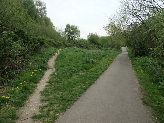
Image: © Christine Johnstone Taken: 23 Apr 2022
The surfaced path is the main path along Shoreburs Greenway, which links Weston Shore to Bursledon Road. It includes a wide range of different environments from formal parkland, play areas and ponds to woodland, heather and gorse scrub.
Images are licensed for reuse under creativecommons.org/licenses/by-sa/2.0
Image Location
Latitude
50.895734
Longitude
-1.359668