Uckfield Road
Introduction
The photograph on this page of Uckfield Road by Simon Carey as part of the Geograph project.
The Geograph project started in 2005 with the aim of publishing, organising and preserving representative images for every square kilometre of Great Britain, Ireland and the Isle of Man.

There are currently over 7.5m images from over 14,400 individuals and you can help contribute to the project by visiting https://www.geograph.org.uk
Uckfield Road
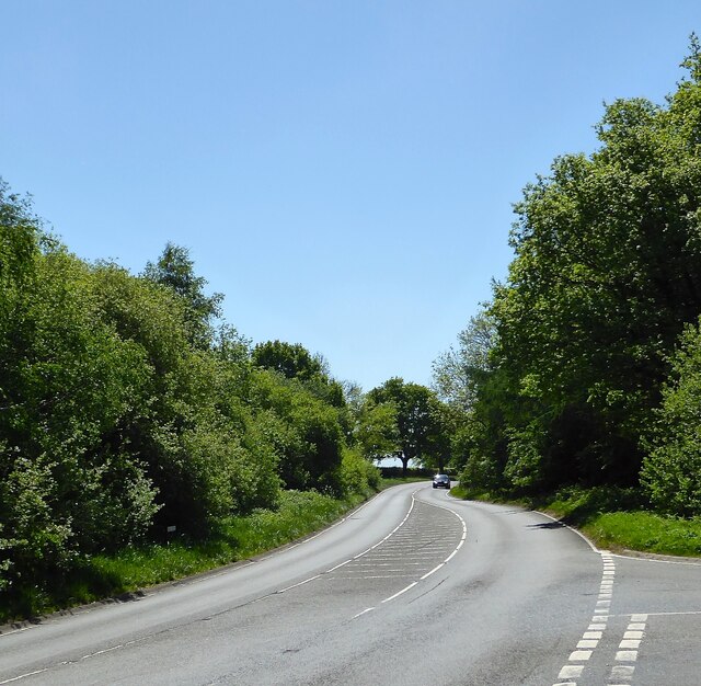
Image: © Simon Carey Taken: 8 May 2022
The A26 heading south to Uckfield from the junction with New Road. The section between the junction and the curve was the site of Pound Gate, a former medieval entrance to Ashdown Forest.
Images are licensed for reuse under creativecommons.org/licenses/by-sa/2.0
Image Location
Latitude
51.036464
Longitude
0.118479