Monk Fryston, railway bridge
Introduction
The photograph on this page of Monk Fryston, railway bridge by Mel Towler as part of the Geograph project.
The Geograph project started in 2005 with the aim of publishing, organising and preserving representative images for every square kilometre of Great Britain, Ireland and the Isle of Man.

There are currently over 7.5m images from over 14,400 individuals and you can help contribute to the project by visiting https://www.geograph.org.uk
Monk Fryston, railway bridge
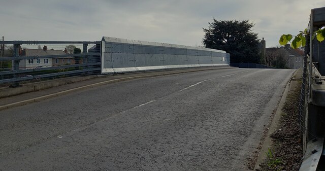
Image: © Mel Towler Taken: 11 Apr 2022
According to the OS benchmark database the parapet on the north side of the road had a benchmark cut into a face. Today, the bridge is all metal having replaced older structures and the cutmark has been destroyed.
Images are licensed for reuse under creativecommons.org/licenses/by-sa/2.0
Image Location
Latitude
53.763583
Longitude
-1.240274