The edge of Milngavie
Introduction
The photograph on this page of The edge of Milngavie by Richard Sutcliffe as part of the Geograph project.
The Geograph project started in 2005 with the aim of publishing, organising and preserving representative images for every square kilometre of Great Britain, Ireland and the Isle of Man.

There are currently over 7.5m images from over 14,400 individuals and you can help contribute to the project by visiting https://www.geograph.org.uk
The edge of Milngavie
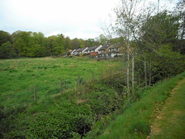
Image: © Richard Sutcliffe Taken: 8 May 2022
The houses backing onto the field are on Dumbrock Road, on the edge of the Mains Estate. The Craigdhu Burn is flowing along the ditch in the foreground.
Images are licensed for reuse under creativecommons.org/licenses/by-sa/2.0
Image Location
Latitude
55.940987
Longitude
-4.346346