Mill Pond at Bowley Farm
Introduction
The photograph on this page of Mill Pond at Bowley Farm by Marathon as part of the Geograph project.
The Geograph project started in 2005 with the aim of publishing, organising and preserving representative images for every square kilometre of Great Britain, Ireland and the Isle of Man.

There are currently over 7.5m images from over 14,400 individuals and you can help contribute to the project by visiting https://www.geograph.org.uk
Mill Pond at Bowley Farm
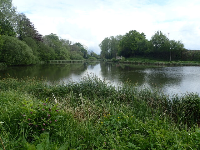
Image: © Marathon Taken: 7 May 2022
Mill Pond id formed by damming the Great Stour at Bowley Mill. For more information about the Great Stour see https://en.wikipedia.org/wiki/River_Stour,_Kent
Images are licensed for reuse under creativecommons.org/licenses/by-sa/2.0
Image Location
Latitude
51.214502
Longitude
0.720047