Stumpery, Burnby Hall Gardens, Pocklington
Introduction
The photograph on this page of Stumpery, Burnby Hall Gardens, Pocklington by Paul Harrop as part of the Geograph project.
The Geograph project started in 2005 with the aim of publishing, organising and preserving representative images for every square kilometre of Great Britain, Ireland and the Isle of Man.

There are currently over 7.5m images from over 14,400 individuals and you can help contribute to the project by visiting https://www.geograph.org.uk
Stumpery, Burnby Hall Gardens, Pocklington
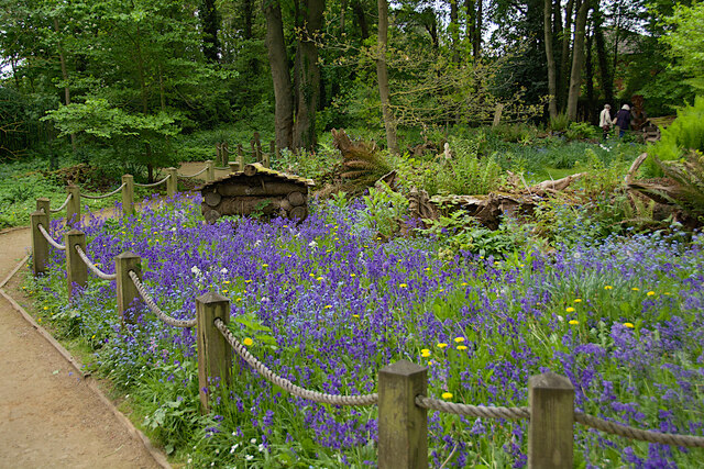
Image: © Paul Harrop Taken: 10 May 2022
At the southern end of the site, this garden feature is constructed using mainly the upturned roots of large trees. Wild plants break up the strong lines and soften the angles. Work on the stumpery began in the winter of 2011.
Images are licensed for reuse under creativecommons.org/licenses/by-sa/2.0
Image Location
Latitude
53.925841
Longitude
-0.771588