Caldbeck Bridges
Introduction
The photograph on this page of Caldbeck Bridges by Adrian Taylor as part of the Geograph project.
The Geograph project started in 2005 with the aim of publishing, organising and preserving representative images for every square kilometre of Great Britain, Ireland and the Isle of Man.

There are currently over 7.5m images from over 14,400 individuals and you can help contribute to the project by visiting https://www.geograph.org.uk
Caldbeck Bridges
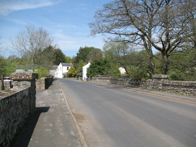
Image: © Adrian Taylor Taken: 10 May 2016
Caldbeck Bridges carry the B5299 road across the confluence of Gill Beck and Whelpo Beck, the united becks forming the Cald Beck, a tributary of the river Caldew. Construction of the bridges is marked by a Cumberland County Council plaque (Image).
Images are licensed for reuse under creativecommons.org/licenses/by-sa/2.0
Image Location
Latitude
54.749426
Longitude
-3.052398