Jubilee River: Maidenhead
Introduction
The photograph on this page of Jubilee River: Maidenhead by Nigel Cox as part of the Geograph project.
The Geograph project started in 2005 with the aim of publishing, organising and preserving representative images for every square kilometre of Great Britain, Ireland and the Isle of Man.

There are currently over 7.5m images from over 14,400 individuals and you can help contribute to the project by visiting https://www.geograph.org.uk
Jubilee River: Maidenhead
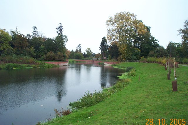
Image: © Nigel Cox Taken: 28 Oct 2005
This is the view looking downstream towards the A4 road bridge. The man-made Jubilee River was designed to provide flood protection for property in Maidenhead, Windsor, and Eton.
Images are licensed for reuse under creativecommons.org/licenses/by-sa/2.0
Image Location
Latitude
51.523359
Longitude
-0.695502