Meadowside Industrial Estate from the air
Introduction
The photograph on this page of Meadowside Industrial Estate from the air by Thomas Nugent as part of the Geograph project.
The Geograph project started in 2005 with the aim of publishing, organising and preserving representative images for every square kilometre of Great Britain, Ireland and the Isle of Man.

There are currently over 7.5m images from over 14,400 individuals and you can help contribute to the project by visiting https://www.geograph.org.uk
Meadowside Industrial Estate from the air
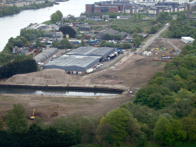
Image: © Thomas Nugent Taken: 5 May 2022
The scrap metal yard which was centred around the dock has gone, as has a large industrial building which stood to the right of the large grey sheds. See the scene in 2015 Image
Images are licensed for reuse under creativecommons.org/licenses/by-sa/2.0
Image Location
Latitude
55.887508
Longitude
-4.393171