Edge of the Lake District
Introduction
The photograph on this page of Edge of the Lake District by Adrian Taylor as part of the Geograph project.
The Geograph project started in 2005 with the aim of publishing, organising and preserving representative images for every square kilometre of Great Britain, Ireland and the Isle of Man.

There are currently over 7.5m images from over 14,400 individuals and you can help contribute to the project by visiting https://www.geograph.org.uk
Edge of the Lake District
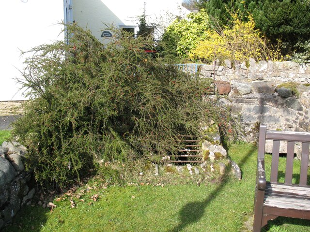
Image: © Adrian Taylor Taken: 25 Mar 2017
Bowten Beck flows in a culvert beneath Friar Row and marks the boundary of the Lake District National Park. Walkers following The Cumbria Way northwards to Carlisle leave the National Park at this point (next photograph Image).
Images are licensed for reuse under creativecommons.org/licenses/by-sa/2.0
Image Location
Latitude
54.749748
Longitude
-3.052561