Whalley Range Girls High School
Introduction
The photograph on this page of Whalley Range Girls High School by R Greenhalgh as part of the Geograph project.
The Geograph project started in 2005 with the aim of publishing, organising and preserving representative images for every square kilometre of Great Britain, Ireland and the Isle of Man.

There are currently over 7.5m images from over 14,400 individuals and you can help contribute to the project by visiting https://www.geograph.org.uk
Whalley Range Girls High School
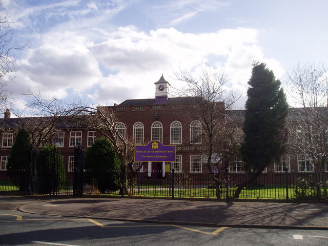
Image: © R Greenhalgh Taken: 7 Mar 2008
Situated on the junction of Wilbraham Road and Princess Road, Whalley Range Girls High School serves the Manchester areas of Whalley Range and Moss Side.
Images are licensed for reuse under creativecommons.org/licenses/by-sa/2.0
Image Location
Latitude
53.442425
Longitude
-2.247009