Whitehill Lane at Blackmoor Farm
Introduction
The photograph on this page of Whitehill Lane at Blackmoor Farm by Hugh Craddock as part of the Geograph project.
The Geograph project started in 2005 with the aim of publishing, organising and preserving representative images for every square kilometre of Great Britain, Ireland and the Isle of Man.

There are currently over 7.5m images from over 14,400 individuals and you can help contribute to the project by visiting https://www.geograph.org.uk
Whitehill Lane at Blackmoor Farm
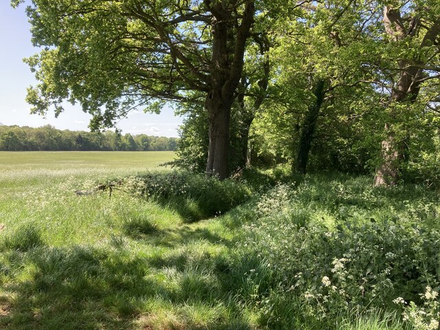
Image: © Hugh Craddock Taken: 8 May 2022
Whitehill Lane, outside Blackmoor Farm. Whitehill Lane is a green lane, also Ockley footpath 25.
Images are licensed for reuse under creativecommons.org/licenses/by-sa/2.0
Image Location
Latitude
51.293766
Longitude
-0.436539