Dulas Brook, Hay
Introduction
The photograph on this page of Dulas Brook, Hay by Mike Parker as part of the Geograph project.
The Geograph project started in 2005 with the aim of publishing, organising and preserving representative images for every square kilometre of Great Britain, Ireland and the Isle of Man.

There are currently over 7.5m images from over 14,400 individuals and you can help contribute to the project by visiting https://www.geograph.org.uk
Dulas Brook, Hay
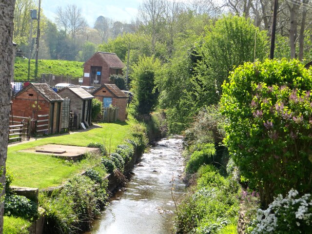
Image: © Mike Parker Taken: 30 Apr 2022
The brook forms the England-Wales border between the communities of Cusop (Herefordshire) on the left, and Hay-on-Wye (Powys) on the right.
Images are licensed for reuse under creativecommons.org/licenses/by-sa/2.0
Image Location
Latitude
52.077567
Longitude
-3.12365