Ruislip: West End Road
Introduction
The photograph on this page of Ruislip: West End Road by Stefan Czapski as part of the Geograph project.
The Geograph project started in 2005 with the aim of publishing, organising and preserving representative images for every square kilometre of Great Britain, Ireland and the Isle of Man.

There are currently over 7.5m images from over 14,400 individuals and you can help contribute to the project by visiting https://www.geograph.org.uk
Ruislip: West End Road
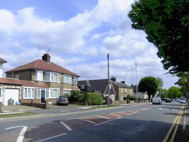
Image: © Stefan Czapski Taken: 5 May 2022
Pretty typical of this suburban residential area. Most of the housing dates from the 1920's and 30's, with a great many 'semis'.
Images are licensed for reuse under creativecommons.org/licenses/by-sa/2.0
Image Location
Latitude
51.567632
Longitude
-0.420093