Turnpike Cottage
Introduction
The photograph on this page of Turnpike Cottage by Eirian Evans as part of the Geograph project.
The Geograph project started in 2005 with the aim of publishing, organising and preserving representative images for every square kilometre of Great Britain, Ireland and the Isle of Man.

There are currently over 7.5m images from over 14,400 individuals and you can help contribute to the project by visiting https://www.geograph.org.uk
Turnpike Cottage
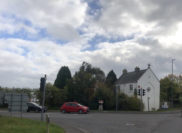
Image: © Eirian Evans Taken: 27 Oct 2021
White house at the A37 Bristol Road junction with the A39 Wells Road at White Cross. The cross on the roof suggests this might have been a chapel at one time.
Images are licensed for reuse under creativecommons.org/licenses/by-sa/2.0
Image Location
Latitude
51.309549
Longitude
-2.533353