Broadfield Brook upstream of Mowbray Drive/Gossops Drive bridge
Introduction
The photograph on this page of Broadfield Brook upstream of Mowbray Drive/Gossops Drive bridge by Robin Webster as part of the Geograph project.
The Geograph project started in 2005 with the aim of publishing, organising and preserving representative images for every square kilometre of Great Britain, Ireland and the Isle of Man.

There are currently over 7.5m images from over 14,400 individuals and you can help contribute to the project by visiting https://www.geograph.org.uk
Broadfield Brook upstream of Mowbray Drive/Gossops Drive bridge
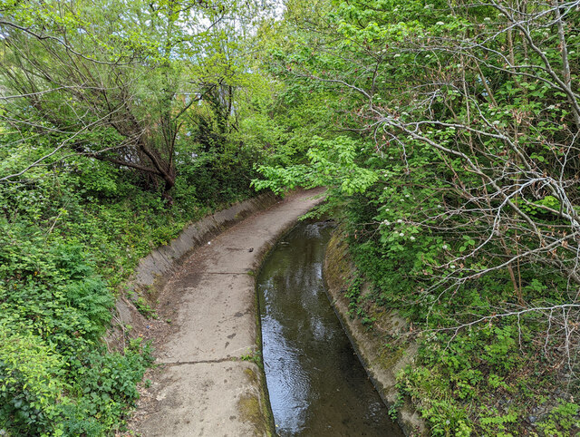
Image: © Robin Webster Taken: 2 May 2022
With an increased cross-section for high flows, probably better viewed as a reduced cross-section and so higher velocity for low flows.
Images are licensed for reuse under creativecommons.org/licenses/by-sa/2.0
Image Location
Latitude
51.107175
Longitude
-0.216998