Wet Shod Lane, Brighouse
Introduction
The photograph on this page of Wet Shod Lane, Brighouse by Humphrey Bolton as part of the Geograph project.
The Geograph project started in 2005 with the aim of publishing, organising and preserving representative images for every square kilometre of Great Britain, Ireland and the Isle of Man.

There are currently over 7.5m images from over 14,400 individuals and you can help contribute to the project by visiting https://www.geograph.org.uk
Wet Shod Lane, Brighouse
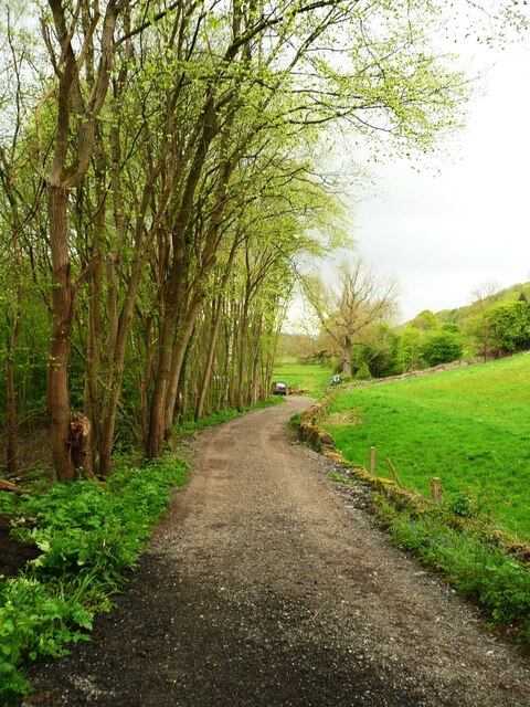
Image: © Humphrey Bolton Taken: 2 May 2022
Since my previous photograph Image] all the trees and shrubs on the right have been cut down.
Images are licensed for reuse under creativecommons.org/licenses/by-sa/2.0
Image Location
Latitude
53.709467
Longitude
-1.799832