In case of flooding
Introduction
The photograph on this page of In case of flooding by John H Darch as part of the Geograph project.
The Geograph project started in 2005 with the aim of publishing, organising and preserving representative images for every square kilometre of Great Britain, Ireland and the Isle of Man.

There are currently over 7.5m images from over 14,400 individuals and you can help contribute to the project by visiting https://www.geograph.org.uk
In case of flooding
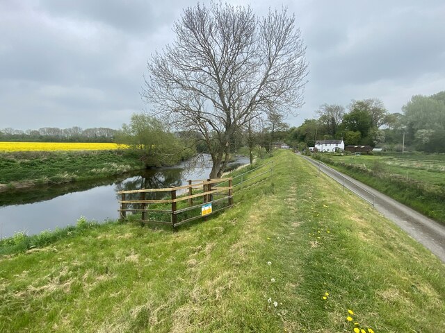
Image: © John H Darch Taken: 3 May 2022
The levee in the centre of the picture intended to keep the River Dee at bay and direct any flooding to the fields on its far bank.
Images are licensed for reuse under creativecommons.org/licenses/by-sa/2.0
Image Location


Leaflet Map data © OpenStreetMap
Latitude
53.008241
Longitude
-2.902508